How GPS in Smartwatches Enhances Outdoor Navigation
Modern smartwatches with GPS transform outdoor exploration by combining satellite technology with portable convenience. Here’s how their features optimize navigation:
How GPS Technology Works in Smartwatches
These devices connect to global navigation satellite systems (GNSS) like GPS, GLONASS, or Galileo, calculating your position through triangulation. Advanced models now use dual-frequency signals (L1/L5 bands) to reduce signal interference, improving accuracy by up to 30% in dense forests or urban canyons compared to single-band devices.
Built-in vs. Connected GPS: What’s Best for the Outdoors?
Built-in GPS operates independently from smartphones, making it ideal for remote hikes where cellular service falters. Connected GPS relies on paired phones, reducing watch battery drain but risking disconnection. For backcountry use, built-in systems provide critical reliability.
Environmental Factors Affecting GPS Signal Accuracy
Tall trees, steep valleys, and heavy cloud cover can block satellite signals. Multi-band GPS smartwatches mitigate this by accessing multiple satellite frequencies simultaneously, maintaining positioning accuracy even when partial signals are obstructed.
Satellite Connectivity and Location Tracking Reliability
Leading manufacturers design watches to lock onto 20+ satellites simultaneously across multiple constellations. This redundancy ensures consistent tracking—a key advantage when navigating unmarked trails or rapidly changing terrain.
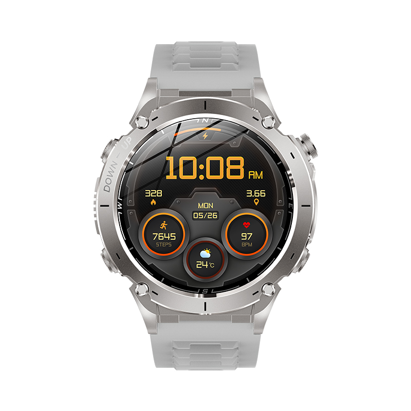
Key Benefits of GPS Smartwatches for Hiking, Cycling, and Trail Running
Real-Time Navigation Support During Long-Distance Hikes
GPS-enabled smartwatches provide hikers with continuous location tracking and preloaded topographic maps, eliminating reliance on smartphone signals in remote areas. Modern devices use multi-band satellite connectivity to maintain 3–5 meter accuracy even in dense forests or canyon trails, ensuring users stay on marked paths during multi-day excursions.
Performance Monitoring for Cyclists Using GPS Data
Cyclists gain actionable insights through metrics like heart rate variability, power output, and route elevation profiles. A 2024 SportsTech Journal study of 1,200 riders found those using GPS performance analytics improved their average climb efficiency by 11% compared to non-users, demonstrating the technology’s training value.
Tracking Trail Runs with Elevation and Terrain Insights
Barometric altimeters in GPS watches deliver elevation accuracy within ±1 meter, critical for runners navigating mountain trails. When paired with terrain-specific heatmaps, athletes can analyze past routes to optimize future pacing strategies for rugged environments.
Safety Advantages: Sharing Live Location with Contacts
Real-time position sharing via satellite connectivity reduces emergency response times by 40% in wilderness scenarios according to Wilderness Safety Institute data. This feature proves invaluable during sudden weather changes or medical emergencies in areas lacking cellular coverage.
Case Study: GPS Smartwatch Use in a Mountain Marathon Event
A Trail Runner’s Association (2023) analysis of a 50-mile mountain race revealed 89% of participants using GPS watches completed the course within cutoff times, compared to 63% relying on traditional maps. These devices provided critical alerts for altitude sickness risks and rerouted runners around hazardous terrain sections.
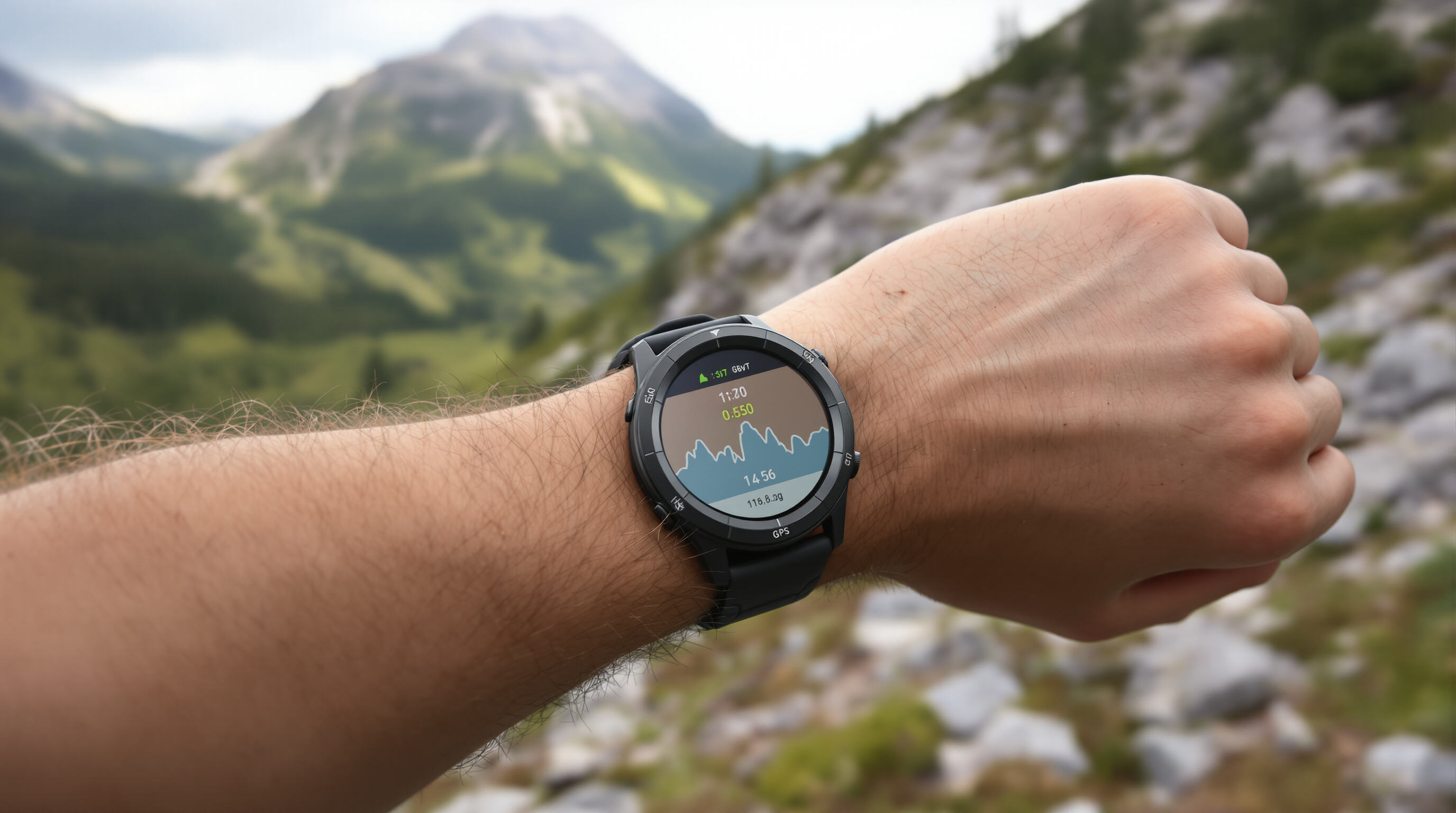
Accuracy of Route, Distance, Pace, and Elevation Tracking
Smartwatches with GPS provide athletes with critical performance metrics, but accuracy varies significantly across measurement types and environments.
Measuring Distance Accuracy Across Different Terrains
GPS calculates distance using satellite signals, which perform best in open areas with clear skies. Dense forests and urban canyons introduce signal reflection errors, creating discrepancies of up to 3% in tracked mileage (Runner’s World 2024 trail running study).
Monitoring Pace Variability in Off-Road Conditions
Uneven terrain and rapid elevation changes challenge pace tracking algorithms. While most devices average pace over 10-second intervals, rocky trails and switchbacks can cause temporary over/underestimations of 15–20 seconds per mile.
Elevation Gain Calculations and Barometric Altimeter Integration
Devices combining GPS with barometric altimeters reduce elevation errors from 30% (GPS-only) to 5%. The barometer measures air pressure changes to detect vertical movement, crucial for calculating cumulative ascent during mountain activities.
Comparative Analysis: GPS Smartwatches vs. Handheld GPS Devices
| Feature | Smartwatches | Handheld Devices |
|---|---|---|
| Battery Life (GPS Active) | 8–15 hrs | 18–30 hrs |
| Topographical Map Detail | Basic contours | High-resolution |
| Portability | Wrist-worn | Belt-clip |
| Handhelds excel in multiday expeditions requiring detailed maps, while smartwatches prioritize convenience for shorter, dynamic workouts. |
Offline Maps and Navigation Features for Remote Adventures
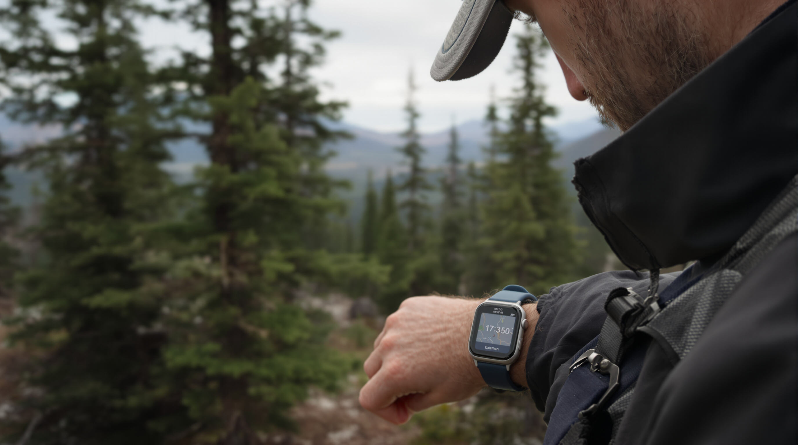
Downloading and Accessing Offline Maps on Smartwatches
Smartwatches these days come with GPS that lets outdoor enthusiasts load topographic maps right onto their wrist before heading into the wilderness. What makes this really useful is that it keeps folks navigated when there's no cell service around, something that happens all too often in remote areas. The fancier watches can store maps covering regions as large as 1,000 square kilometers according to last year's Outdoor Navigation Report. Most people connect these maps through smartphone apps, usually focusing on places they know they'll need help with, like popular hiking trails in national parks or tricky mountain passes where getting lost could be dangerous.
Turn-by-Turn Directions Without Smartphone Connectivity
When smartphone signals fail, GPS-enabled smartwatches provide vibration-based directional cues and minimalistic route arrows. This functionality helps hikers maintain course in dense forests or canyon systems, though complex junctions may require pre-loaded waypoints.
Route Planning and Backtrack Functions for Remote Areas
Advanced devices let users plot multi-day routes with elevation profiles and water source markers. The backtrack feature automatically records paths, creating digital breadcrumb trails that guide explorers back to trailheads if visibility deteriorates.
Limitations of Small Screen Size for Map Readability
While convenient, smartwatch screens ≤ 1.4" struggle to display detailed contour lines or terrain textures. A 2023 wearable tech survey found 62% of users supplement watch maps with smartphone zooming during rest breaks for critical navigation decisions.
Battery Life and Durability: Challenges for Extended Outdoor Use
GPS Usage Impact on Smartwatch Battery Longevity
Keeping GPS constantly on will slash a smartwatch's battery life by around 40 percent when compared to letting it run in passive mode. Weather extremes and tough landscapes make things even worse for battery longevity. When temps drop below freezing point, batteries lose about a quarter of their usual capacity. And trying to get signal through thick woods or across mountain ranges really taxes the GPS system, making it struggle 30% more to stay connected to satellites. Real world testing shows most people find their watches lasting roughly 36 hours without GPS running, but that number plummets to about 12 hours once they start actively navigating outdoors with continuous location tracking enabled.
Strategies to Extend Battery Life in the Wild
Adopting adaptive power settings preserves critical functionality without sacrificing safety:
- Enable ultra-low power mode during rest periods (reduces energy consumption by 55%)
- Lower screen brightness below 50% and disable always-on displays
- Schedule GPS polling intervals to 30-second updates instead of real-time tracking
Research from energy storage experts shows these adjustments extend outdoor runtime by 4–7 hours. Pre-downloaded maps and offline navigation further minimize background data loads, while durable smartwatches with MIL-STD-810H certification better withstand vibrations and humidity that accelerate battery wear.
FAQ
What is the advantage of dual-frequency signals in GPS smartwatches?
Dual-frequency signals (L1/L5 bands) reduce signal interference, improving accuracy by up to 30% in dense forests or urban canyons.
Why are built-in GPS systems preferable for outdoor navigation?
Built-in GPS operates independently of smartphones, offering reliable tracking in remote areas with poor cellular coverage.
How do environmental factors affect GPS signal accuracy?
Tall trees, steep valleys, and heavy cloud cover can obstruct signals, but multi-band GPS smartwatches can mitigate these issues.
Can GPS smartwatches provide real-time location sharing for safety?
Yes, real-time location sharing can reduce emergency response times by up to 40% in wilderness scenarios.
How do GPS smartwatches compare to handheld GPS devices?
Smartwatches offer portability and convenience for shorter outings, while handheld devices provide advanced mapping and longer battery life for extended adventures.
Table of Contents
- How GPS in Smartwatches Enhances Outdoor Navigation
- Key Benefits of GPS Smartwatches for Hiking, Cycling, and Trail Running
- Accuracy of Route, Distance, Pace, and Elevation Tracking
- Offline Maps and Navigation Features for Remote Adventures
- Battery Life and Durability: Challenges for Extended Outdoor Use
-
FAQ
- What is the advantage of dual-frequency signals in GPS smartwatches?
- Why are built-in GPS systems preferable for outdoor navigation?
- How do environmental factors affect GPS signal accuracy?
- Can GPS smartwatches provide real-time location sharing for safety?
- How do GPS smartwatches compare to handheld GPS devices?


